Industrial facilities do not stand still.
Production equipment moves. New machinery is installed. Piping is rerouted. Utilities are added. Platforms, conveyors, ductwork, guards, and other infrastructure change as operations evolve. Maintenance teams make modifications, production requirements shift, and facilities adapt to new demands.
After years of changes, what exists today may look considerably different from what existed when the facility was originally built or last documented. Before planning the next retrofit, installation, expansion, or maintenance project, teams need a reliable answer to a basic question: What is actually there now?
That is where reality capture can play an important role. 3D laser scanning provides an accurate digital record of existing physical conditions, giving facility, engineering, and project teams a trustworthy spatial baseline for the work ahead.
Start With the Facility As It Exists Today
Planning around assumptions creates unnecessary risk.
An equipment installation may appear straightforward until someone discovers piping in the proposed location. A retrofit may require additional field measurements because surrounding equipment has moved. A contractor may arrive onsite only to find that access, clearances, or utilities differ from expectations.
These situations have something in common: the team needs better information about the as-is condition of the space.
3D laser scanning captures the physical environment directly.
Instead of relying solely on previous records or sending teams into the field repeatedly to verify individual measurements, reality capture creates a detailed 3D representation of what is actually present.
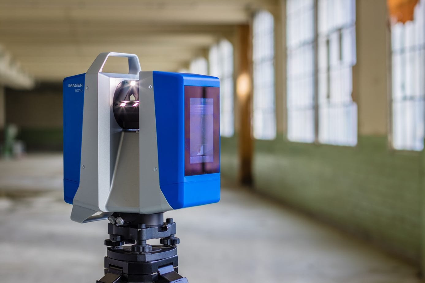
A terrestrial scanner such as the Z+F IMAGER® 5024 can collect dense 3D measurement data across complex industrial environments. The resulting point cloud can capture the position and spatial relationships of equipment, piping, structural elements, utilities, floors, walls, platforms, and other visible features.
The objective is straightforward: document the facility as it is now.
Give Project Teams a Better Starting Point
Accurate as-is data can become valuable long before physical work begins.
Consider a manufacturer preparing to replace a production machine. The available floor space is only one consideration. Teams may also need to account for overhead utilities, surrounding equipment, structural columns, maintenance access, material flow, electrical connections, ventilation, and installation pathways.
Reality capture gives project teams a detailed spatial reference for evaluating those existing conditions.
Engineering teams can use point-cloud data within their preferred downstream design workflows. Contractors can better understand the environment they will be working in. Facility teams can reference current dimensions and spatial relationships without starting every question with another trip to the floor.
Z+F's role is to provide the technology for capturing that physical reality accurately. What organizations do with the resulting spatial data depends on their workflow and application.
Capture Complexity That Is Difficult to Measure Manually
Industrial environments can be difficult places to document.
Mechanical rooms, process areas, production floors, utility spaces, and equipment-dense facilities can contain hundreds of overlapping physical elements. Capturing those environments one measurement at a time can be labor intensive, particularly when teams later discover they need a dimension that was not collected during the original site visit.
3D laser scanning takes a different approach.
By capturing millions of measurement points throughout the visible environment, a scan creates a much richer spatial record of the area. Teams can return to the captured data to examine dimensions, clearances, positions, and relationships that may become important later in the project.
For detailed stationary capture, the Z+F IMAGER® 5024 provides a terrestrial scanning solution designed for demanding 3D documentation applications.
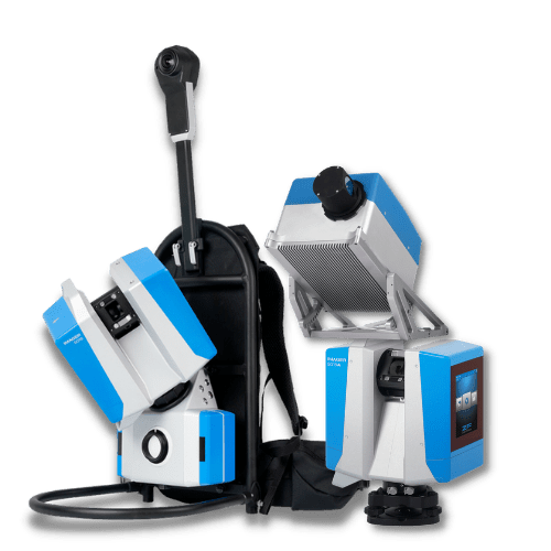
For larger areas or projects where mobility is important, the Z+F FlexScan 22® provides another option. The mobile SLAM system can support efficient capture through industrial facilities and other large or complex environments.
The appropriate method depends on the space, accuracy requirements, project objectives, and how the resulting data will be used.
Make Reality Capture Part of the Facility Workflow
Reality capture does not have to be limited to a single major project.
Facilities continue changing after the scanner leaves.
A new production cell may be installed six months later. A maintenance shutdown may result in rerouted piping. Another department may reorganize its floor space. New utilities may be added to support additional equipment.
That makes periodic reality capture worth considering for facilities that change frequently.
A manufacturer might establish a broad as-is baseline and then recapture high-change areas following significant modifications. Another facility may incorporate scanning into major shutdowns, expansions, equipment moves, or retrofit projects.
The goal is not constant scanning. It is having current spatial information available when it matters.
Turn Captured Reality Into Usable Spatial Data
Capturing a facility is only the first part of the process. Scan data must also be registered, processed, managed, and prepared for use.
Z+F LaserControl® provides tools for working with point-cloud data, including registration, filtering, measurement, and colorization. Data can then be exported for use within other 3D software environments and downstream workflows.
This allows reality capture to support different teams without dictating how those teams ultimately use the information.
Facility teams may need measurements. Engineers may incorporate point clouds into their design environment. Contractors may use the data to understand site conditions. Project teams may reference the captured space during planning and coordination.
The common denominator is a reliable record of physical reality.
Know What Is There Before Deciding What Comes Next
Industrial facilities will continue to change. The challenge is making sure project teams understand those changes before the next project begins.
Reality capture provides a practical way to establish that understanding.
With terrestrial scanning, mobile reality capture, and point-cloud processing technology, Z+F USA helps organizations capture an accurate 3D record of existing conditions as they are today.
That as-is spatial baseline can then support better-informed planning, engineering, coordination, retrofit, maintenance, and facility-management decisions.
Before planning what comes next, capture what is there now.