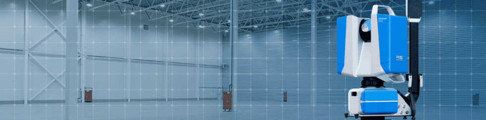
A completed scan gives a project team a record of the physical environment. The next step is turning that record into something the team can act on: a validated design, a resolved clearance conflict, an installation plan, or a dimensional check.
That is the focus of moving from point cloud to operating asset. One well-planned reality-capture dataset can support work across design, construction, manufacturing, and facilities when its coverage, detail, and delivery reflect what those teams need to accomplish.
At Z+F USA, we recommend defining the business question before capture begins, identifying who else can reuse the data, and planning how it will reach the software those teams already use. The following five applications show how that approach turns captured geometry into practical project decisions.
Define the Business Question Before Capture
Consider a manufacturer installing a new production line in an existing facility.
The design team needs to confirm the available space.
Contractors need to coordinate new services with existing utilities.
Operations needs an installation route that works around the facility.
Facilities wants a record it can reference after the project is complete.
Those needs should shape one coordinated capture plan. Establish which dimensions and clearances must be checked, what accuracy those checks require, which areas must be visible, and what each team needs to receive. Agree on the downstream software and usable export formats before fieldwork starts. This makes the intended deliverable clear while there is still time to capture the information it requires.
1. Validate the Design Against Existing Conditions
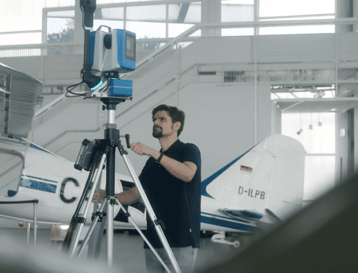
The first question is whether the proposed design reflects the space that actually exists.
For the production-line project, designers can reference captured columns, equipment, overhead utilities, and floor layout while developing the new arrangement.
Bring the processed scan data into the design environment in a supported format so engineers can check the dimensions and interfaces that affect the layout. The practical output is a design reviewed against current conditions, with discrepancies identified before the team commits to the next stage.
That same dataset remains useful beyond design. Contractors can reference the captured surroundings during coordination, and facilities can retain the existing-condition record for later work. Planning for those users at the outset extends the value of the original capture.
2. Identify Conflicts Before Fabrication and Installation
The next question is whether planned work conflicts with what is already in place.
A new service route may intersect an existing pipe, or an equipment layout may leave insufficient maintenance clearance. Comparing planned geometry with captured conditions in suitable coordination software helps teams examine those issues before work reaches the field.
The deliverable is a documented conflict or clearance review that gives the responsible team a specific issue to resolve. Record the location, the condition being checked, and the change needed.
A point cloud provides the spatial reference; the review and resulting decision are what help prevent avoidable rework.
3. Turn Spatial Information Into a Retrofit Plan
A design that fits in its final position still needs a workable installation plan. In the same facility, the project team may need to check whether the new machine can travel through an access corridor, pass beneath existing services, and reach the installation area.
Reuse the captured geometry to evaluate the route, staging space, connection points, and surrounding constraints. Engineering, contractors, and operations can review the same environment while deciding the installation sequence and identifying any additional field checks required.
The output is a retrofit plan grounded in current spatial information. Its usefulness can be assessed through the specific route dimensions, clearances, and interfaces the team has verified, rather than the size of the scan file.
4. Give Remote Teams a Shared Basis for Decisions
Once the field team leaves, another stakeholder may need a dimension, an access review, or a better understanding of the proposed layout.
If the required area was captured at suitable detail, the same dataset can support that review without automatically triggering another site visit.
Make the information available in a supported viewer or the software environment used by the receiving team. Provide enough project context for reviewers to locate the relevant area and understand what they are measuring. A useful handoff allows an engineer to check a dimension, a contractor to review surrounding conditions, or a stakeholder to assess a proposed change.
The deliverable is the measurement, review comment, or approval decision supported by that shared reference. Reusing the data across those tasks makes reality capture part of the project workflow instead of leaving it with the capture team.
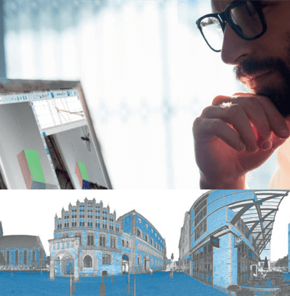
5. Document Progress and Verify Installed Work
During installation, capture can support a different question: does the work in place match the intended arrangement?
Where dimensional verification is required, compare suitable captured measurements against the design requirements and agreed tolerances. The output may be a dimensional check or a documented deviation for the project team to review.
Dated captures preserve progress and changes before later work obscures an area. Keep the original dataset as a baseline and plan additional capture where conditions change. Construction and quality teams can use that record for QA/QC, while facilities can reference the documented installation during future maintenance or modification planning.
This is where the operating-asset idea becomes practical. A dataset planned for a production-line installation can also support design review, coordination, remote measurement, and facility documentation, provided its coverage and quality meet each task’s requirements.
Plan the Handoff Along With the Capture
Reuse depends on delivery.
Confirm how the processed data will be exported, who needs access, and how it will be referenced in the design, coordination, QA/QC, and facilities software already in use. Agree on the project reference system and how dated updates will be identified so teams can compare and reuse the information consistently.
Start with the business question, capture the information needed to answer it, and deliver it where the decision will be made.
That gives one reality-capture effort a practical path to supporting more teams and more tasks long after capture day.