Blue Bridge Scan on the Florida-Georgia Line
The data you see on this page was collected in 45 minutes of scan time, by walking along the bridge at a medium walking pace and by using a boat to scan underneath the bridge. After standard processing, some additional clean up and touch-ups was necessary to yield the data you see here.
Bridges Scans in Full Detail
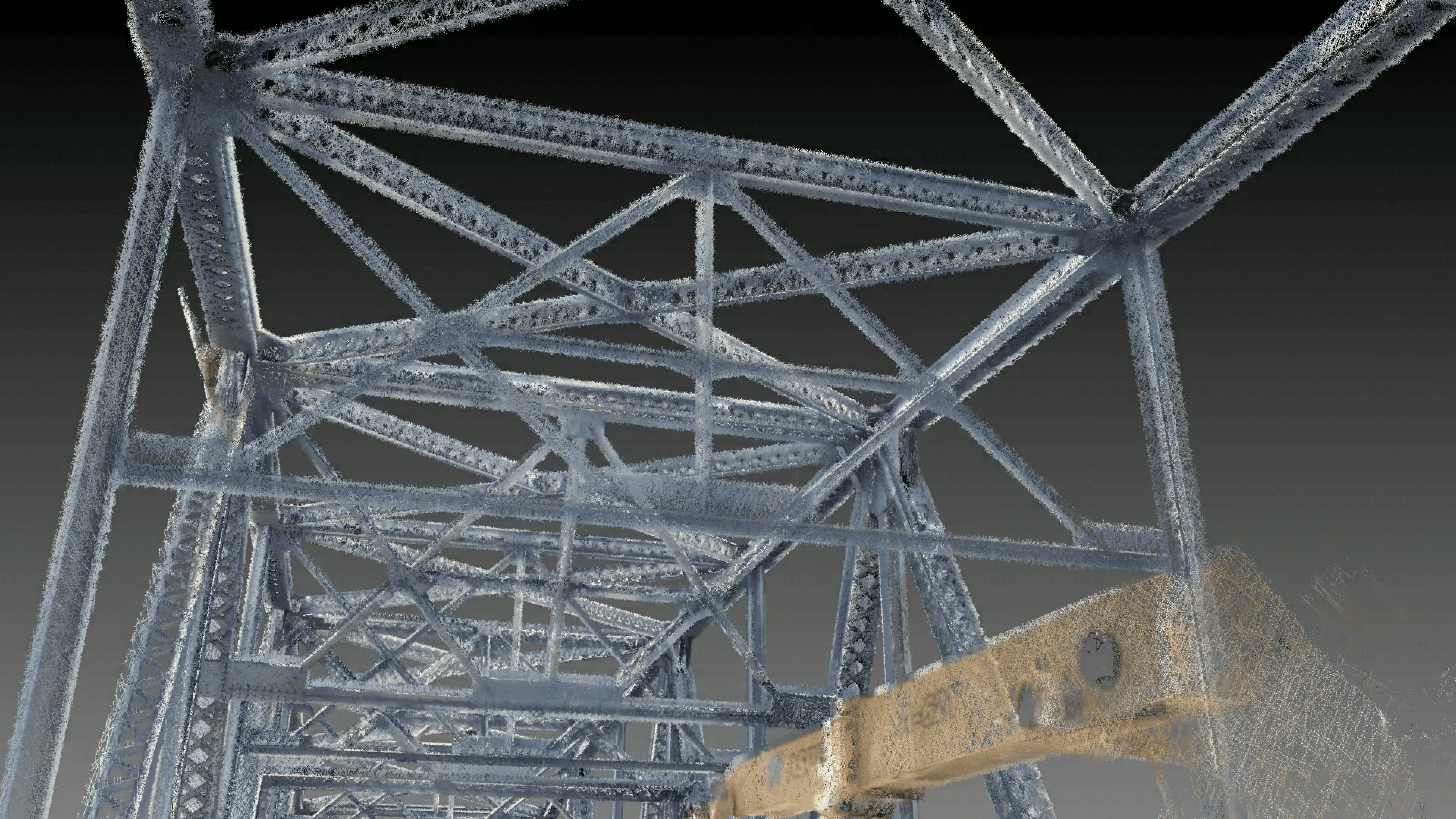
By scanning on land and water, we captured data to display “everything blue” in amazing clarity. From I-beam cross-cuts, to hand-rail measurements, down to being able to count the rivets.

Raw, Complete Data
This raw, un-meshed data, showcases the level of data clarity the FlexScan 22 system recorded. Our customer used the bridge scan to extract all the tie-ins and a model of “everything blue” as per their project requirements.
Everything You Need
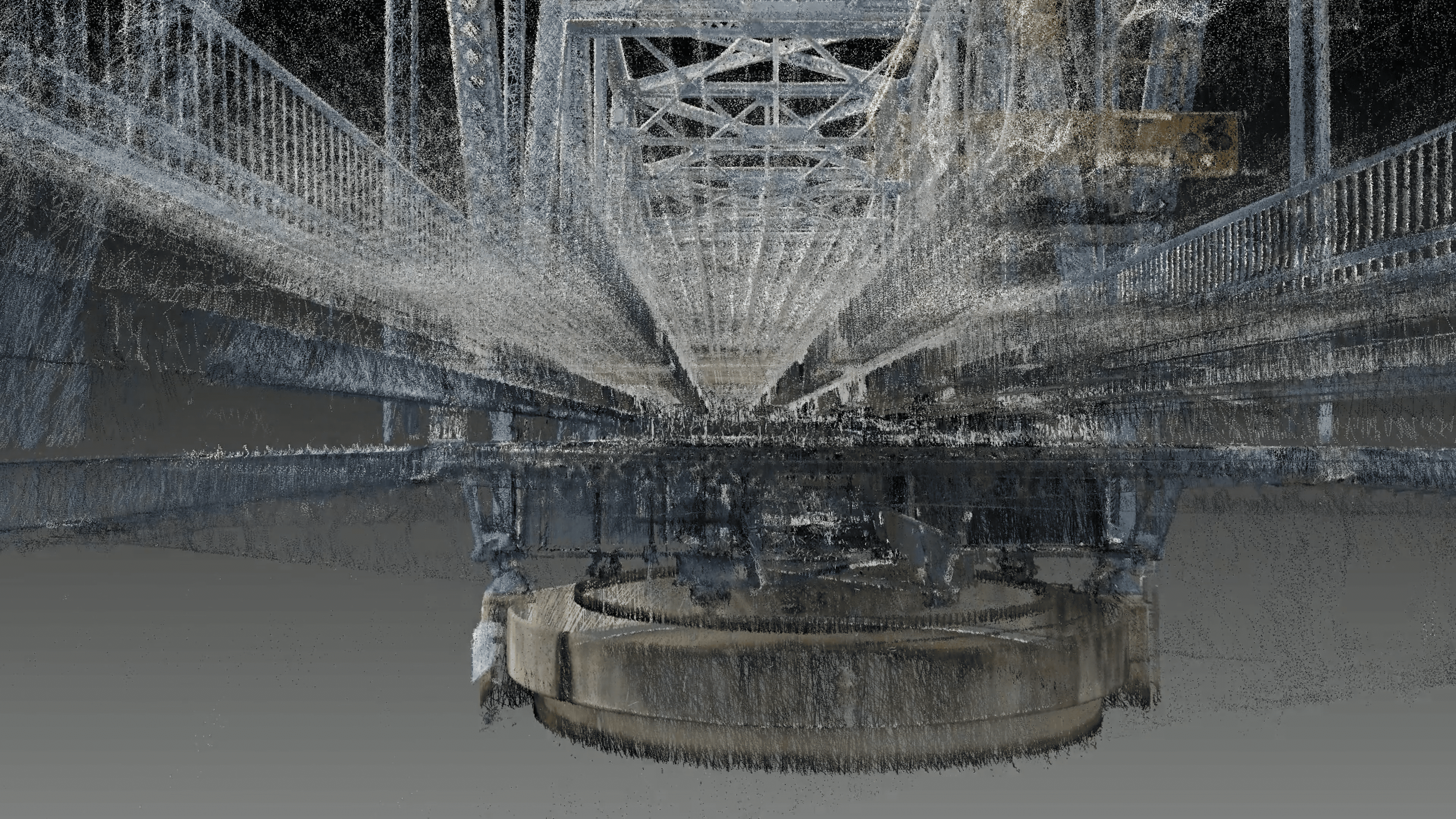
By scanning via both land and water, we gathered data from other important systems from the bridge scan – such as the main center gear that rotates the entire structure to allow boats to pass.

Real World Use – Prevu3D
Our partner, Prevu3D, recently used our scan data to demonstrate what their RealityPlatform can do with their new RealityConnect plugin for MicroStation. It’s a great example of what can be done with Z+F hardware to quickly and easily produce usable data.
